
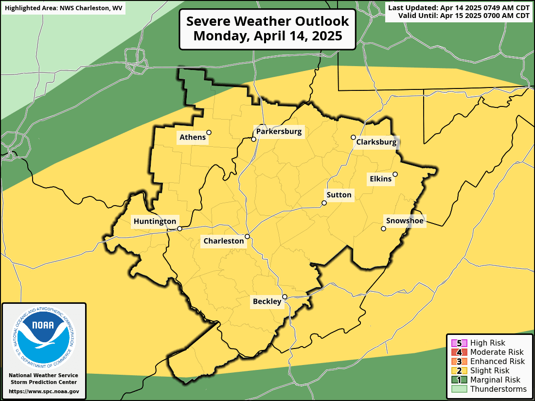
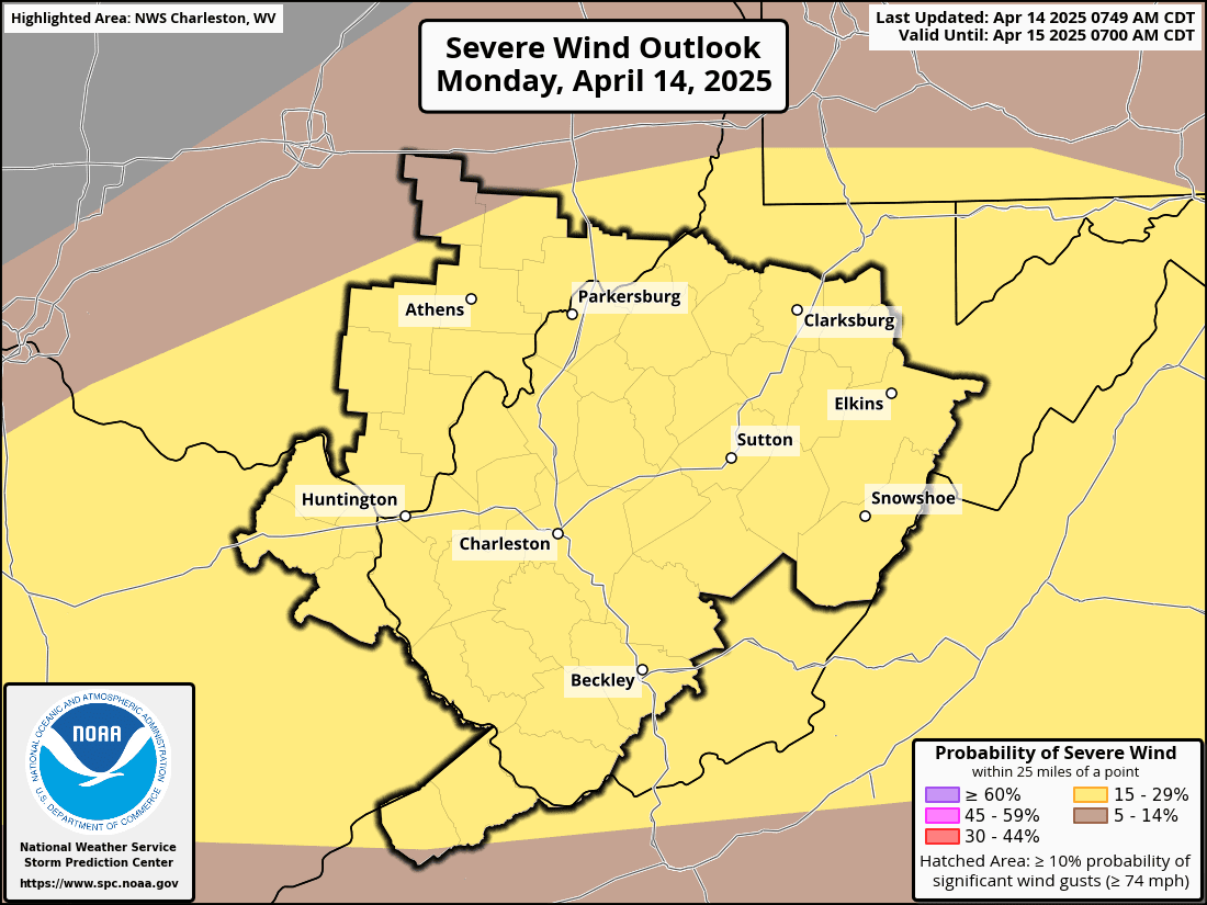
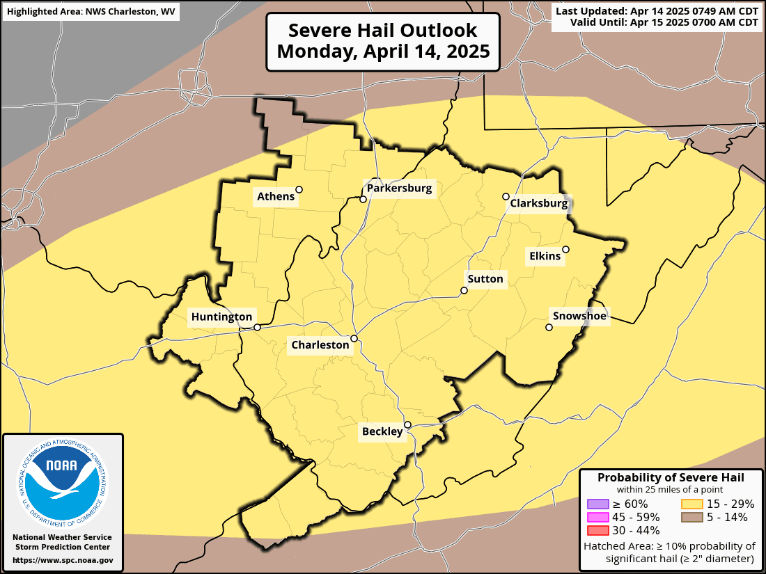
WEST VIRGINIA (LOOTPRESS) – A brief return to spring warmth arrives today as a warm front lifts across the region, pushing temperatures into the 70s across the lowlands and possibly near 80 in parts of the southern West Virginia Coalfields. Light showers are possible this morning, but attention turns to the late afternoon and evening, when a cold front could trigger strong to severe storms. Damaging wind gusts, hail, and even isolated tornadoes are possible.
 Behind the front, temperatures drop below normal for Tuesday and Wednesday. Tuesday will feel more like early March than mid-April—windy, chilly, and raw, with widespread clouds and scattered showers. Rain will be more persistent near the mountains, where it transitions to snow by Tuesday afternoon. Higher elevations could see 1 to 2 inches of snow accumulation by Tuesday night.
Winds gradually ease on Wednesday as high pressure builds in, bringing clearing skies by nightfall. Calm conditions and lows in the 30s—possibly down to freezing—could allow frost to form overnight.
Looking ahead, temperatures bounce back to seasonal norms and beyond late in the week as another weather system approaches.